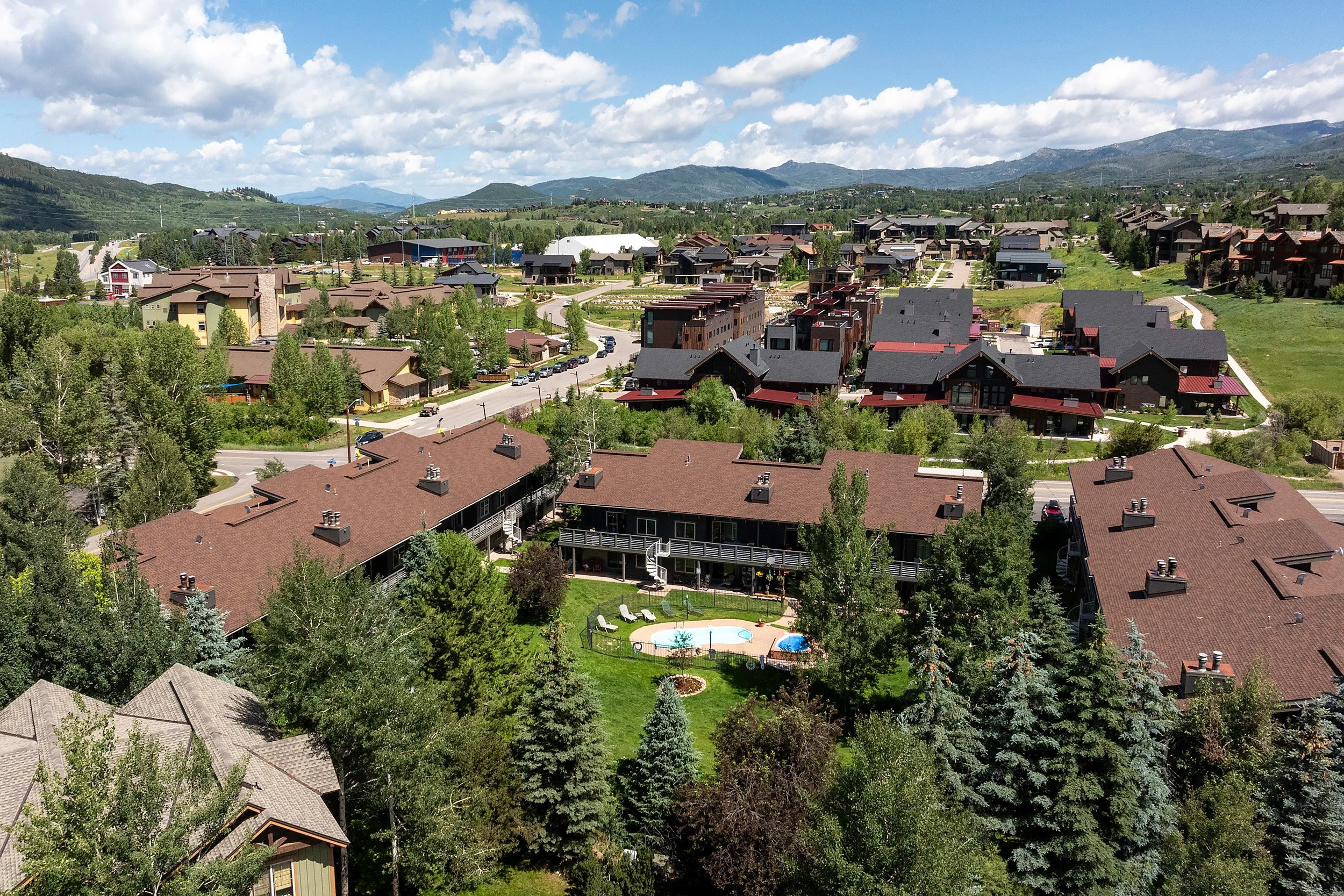
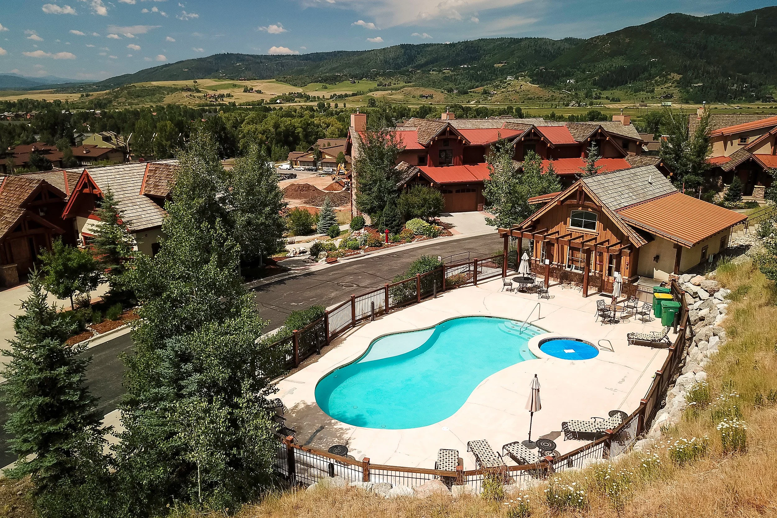
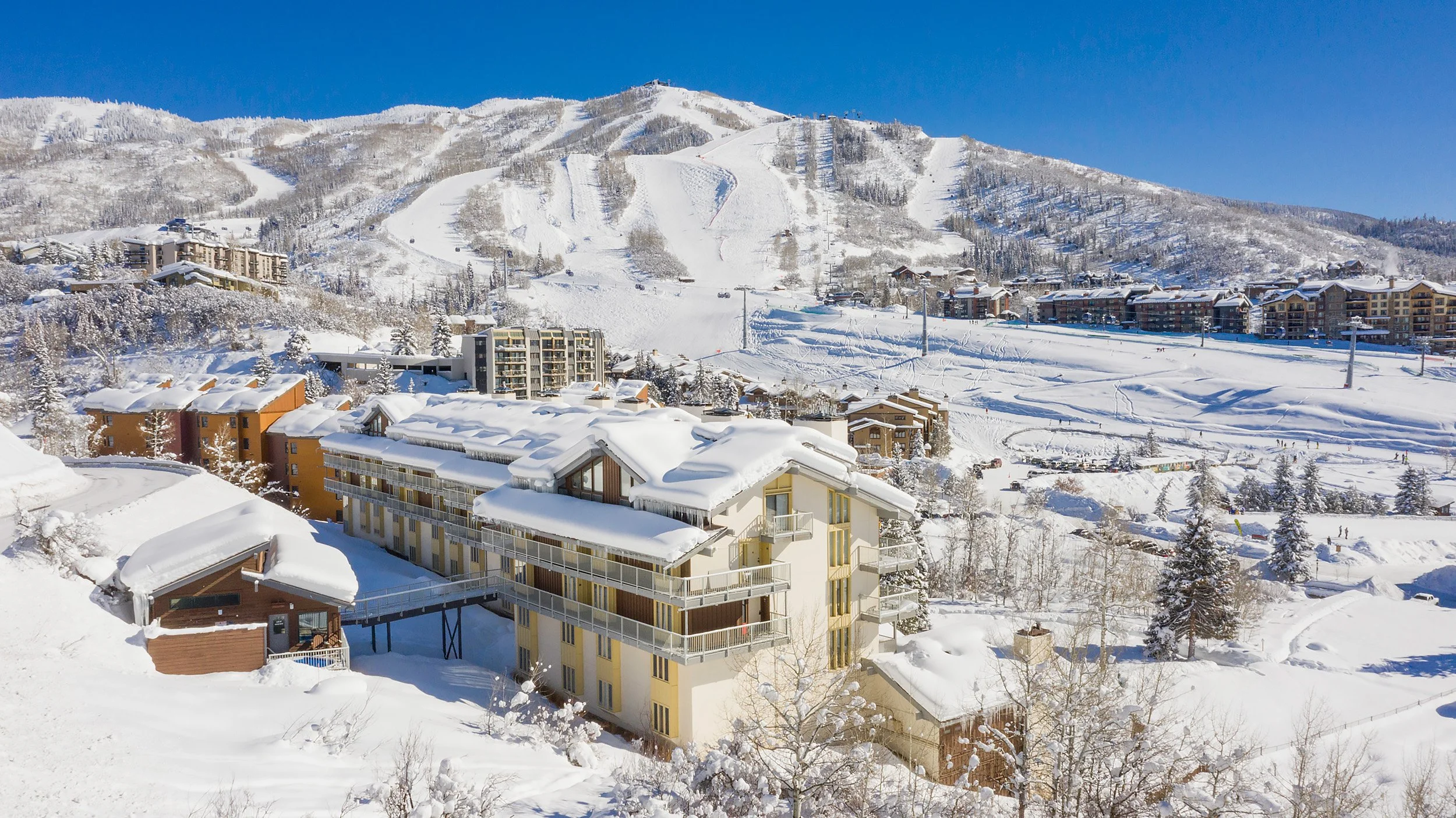
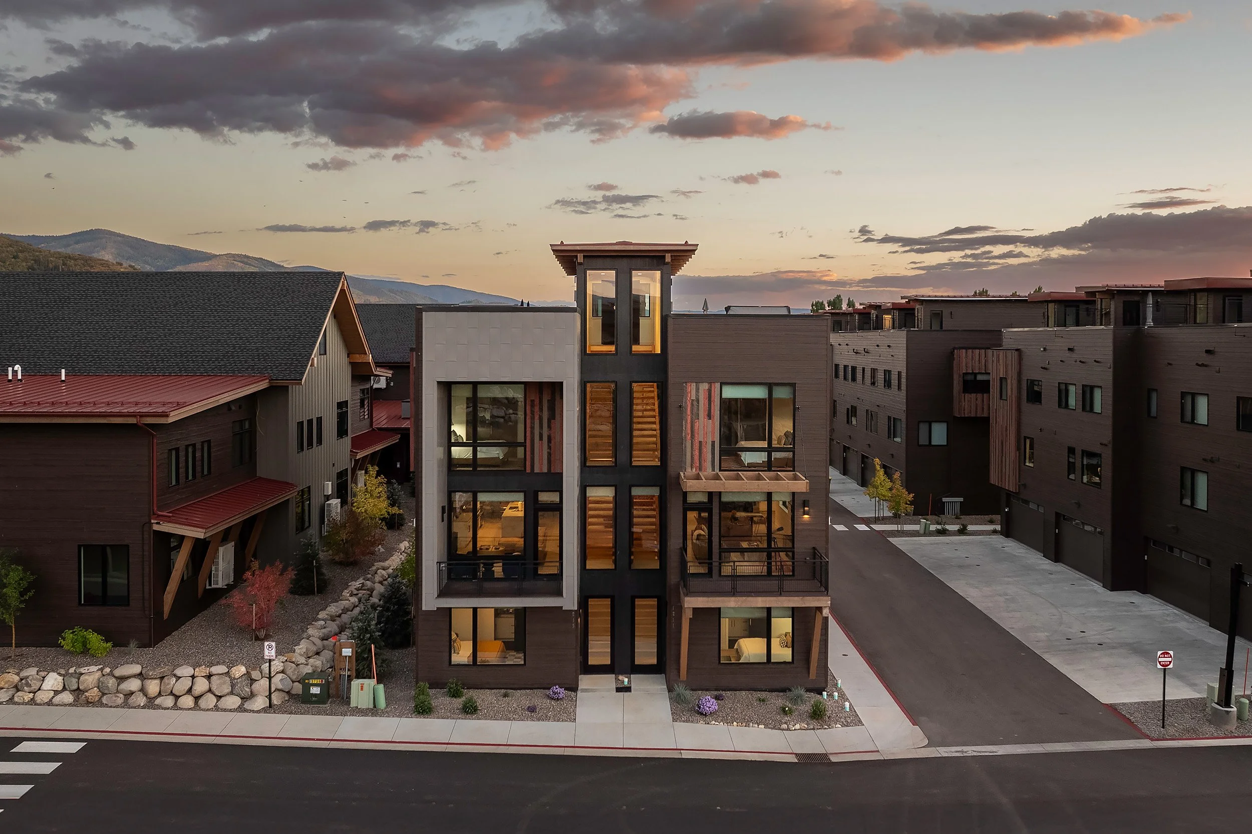
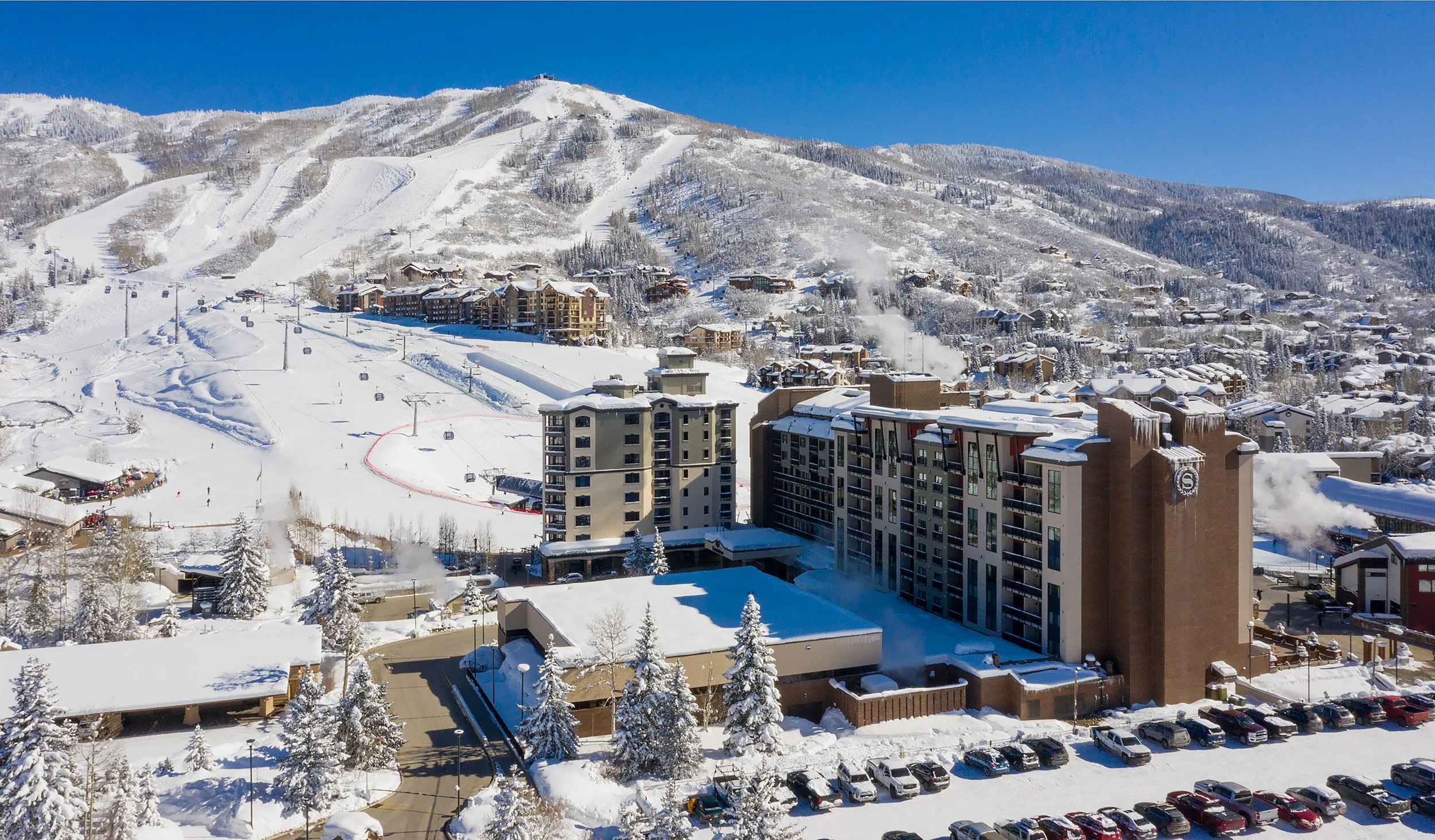
Aerial
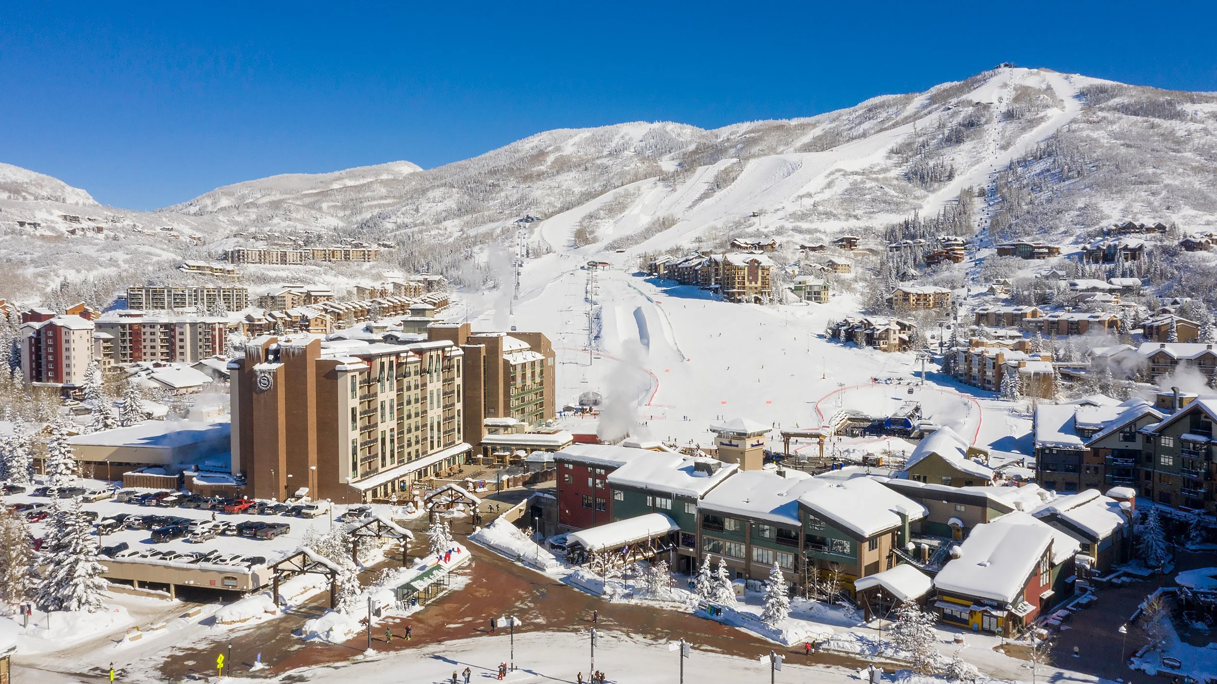
Aerial
What is Real Estate Drone Photography?
Drone photography is the art of taking high-quality photos and video using unmanned air vehicles, or as they’re more popularly known, drones.
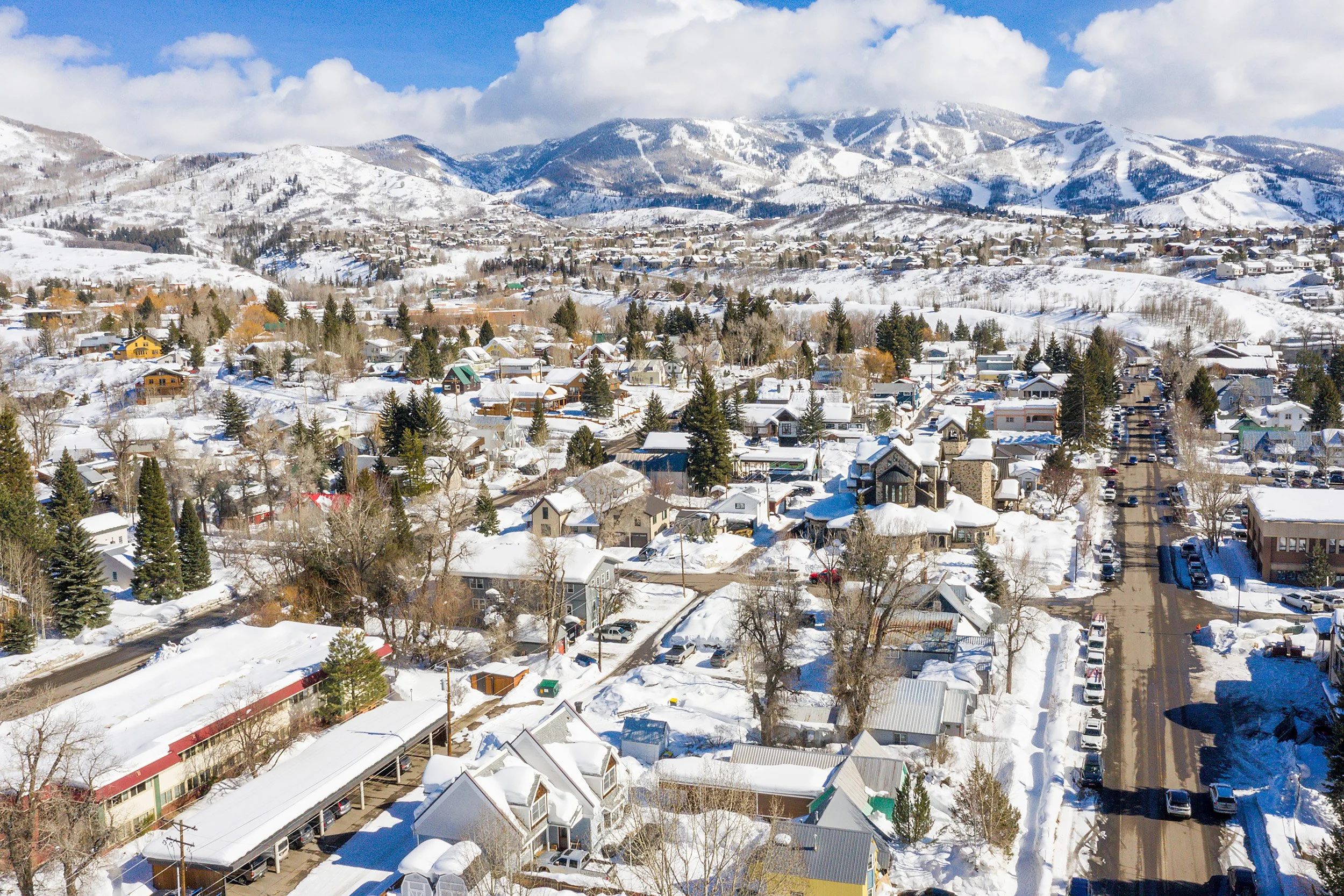
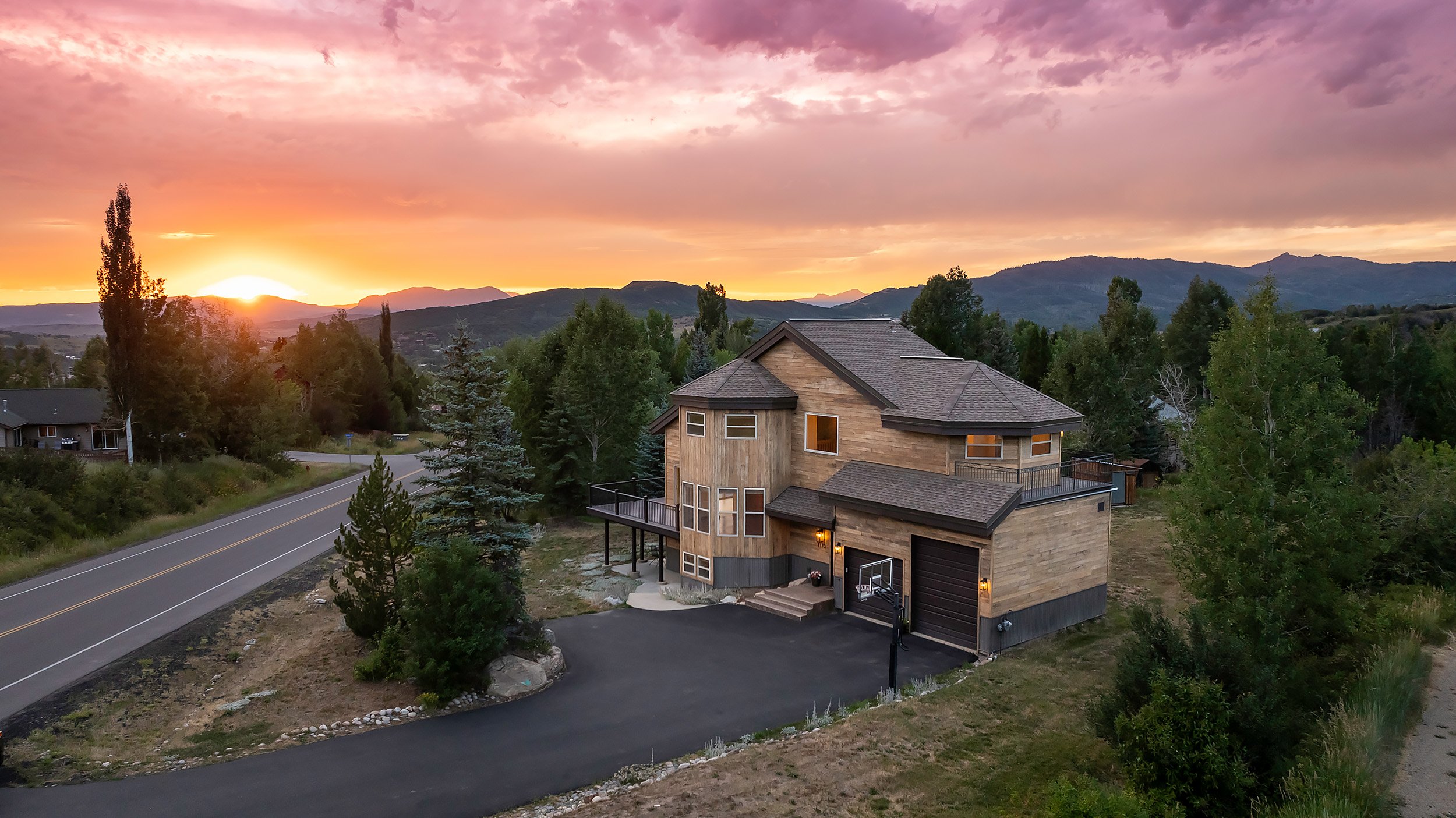
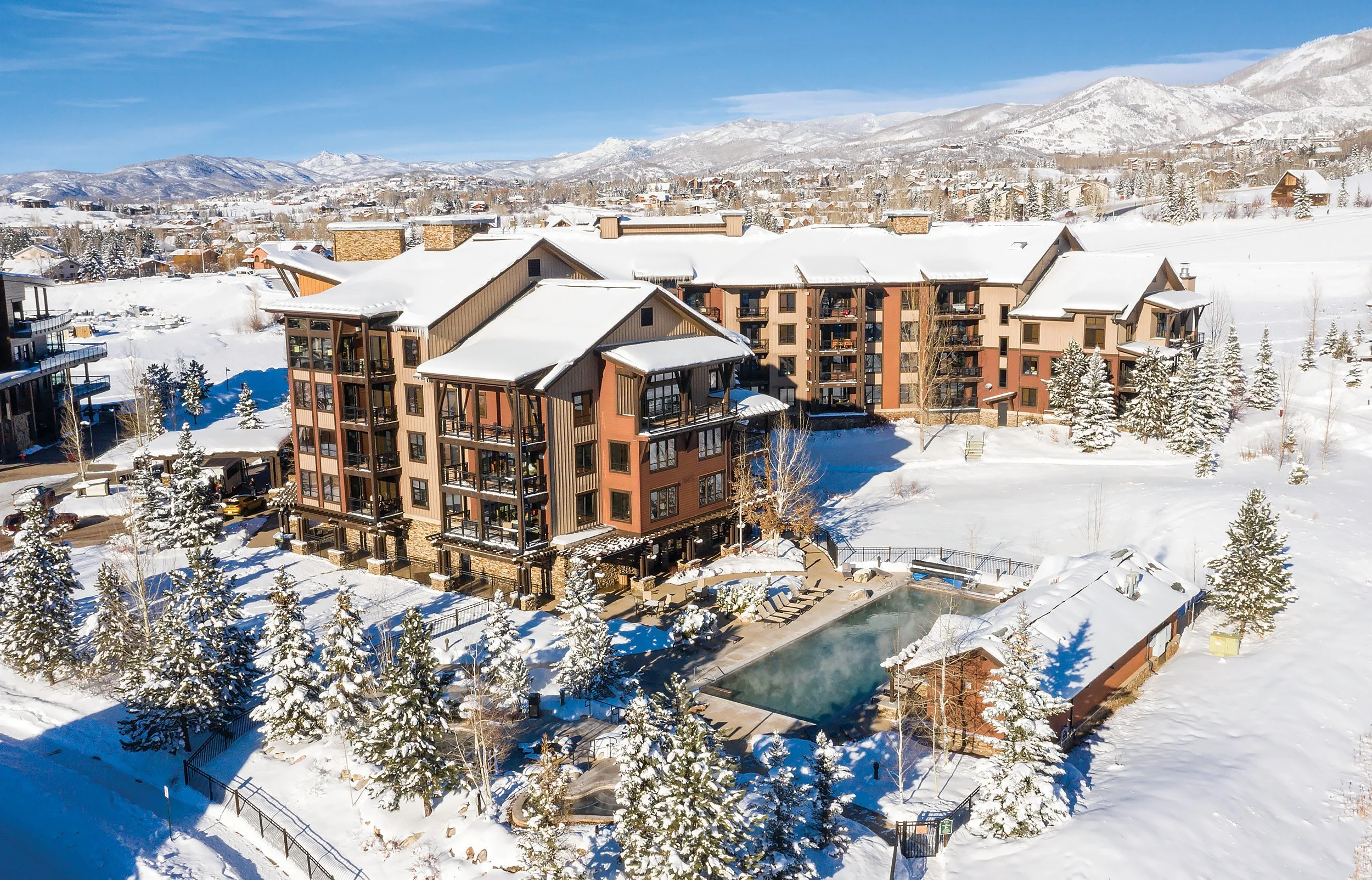
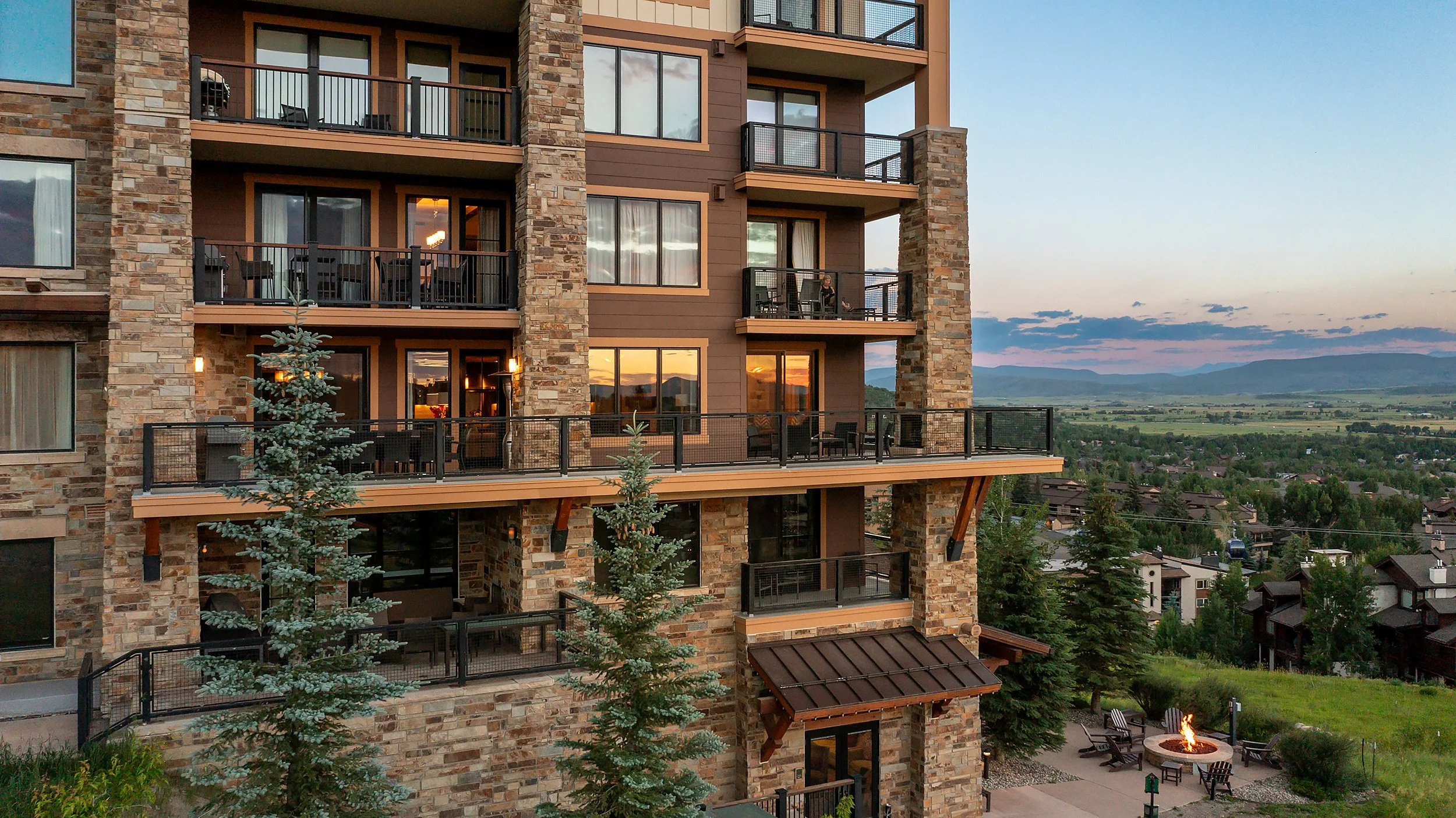
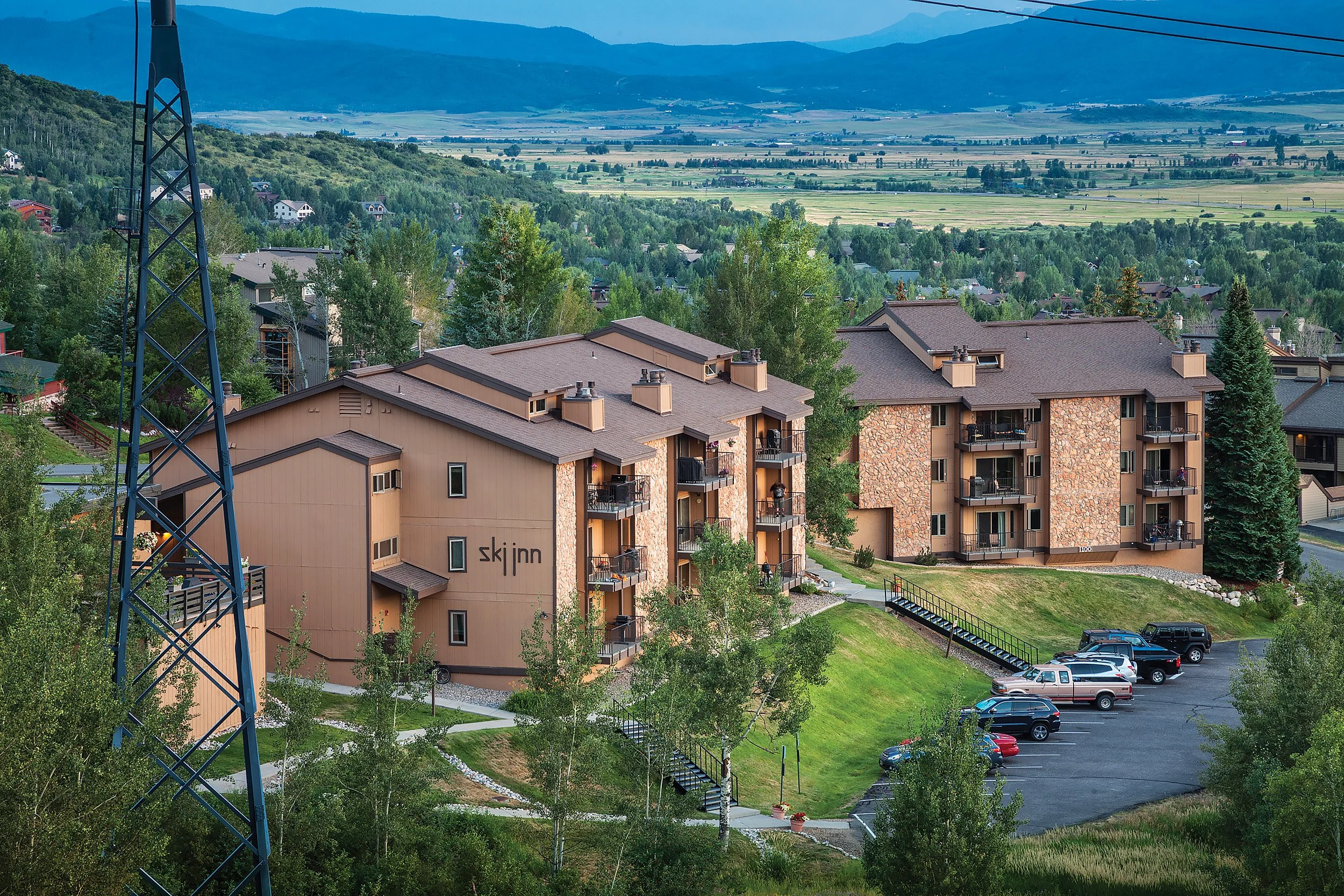
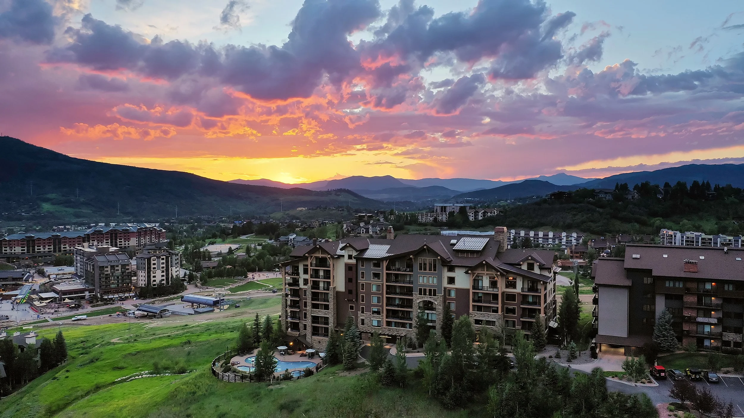
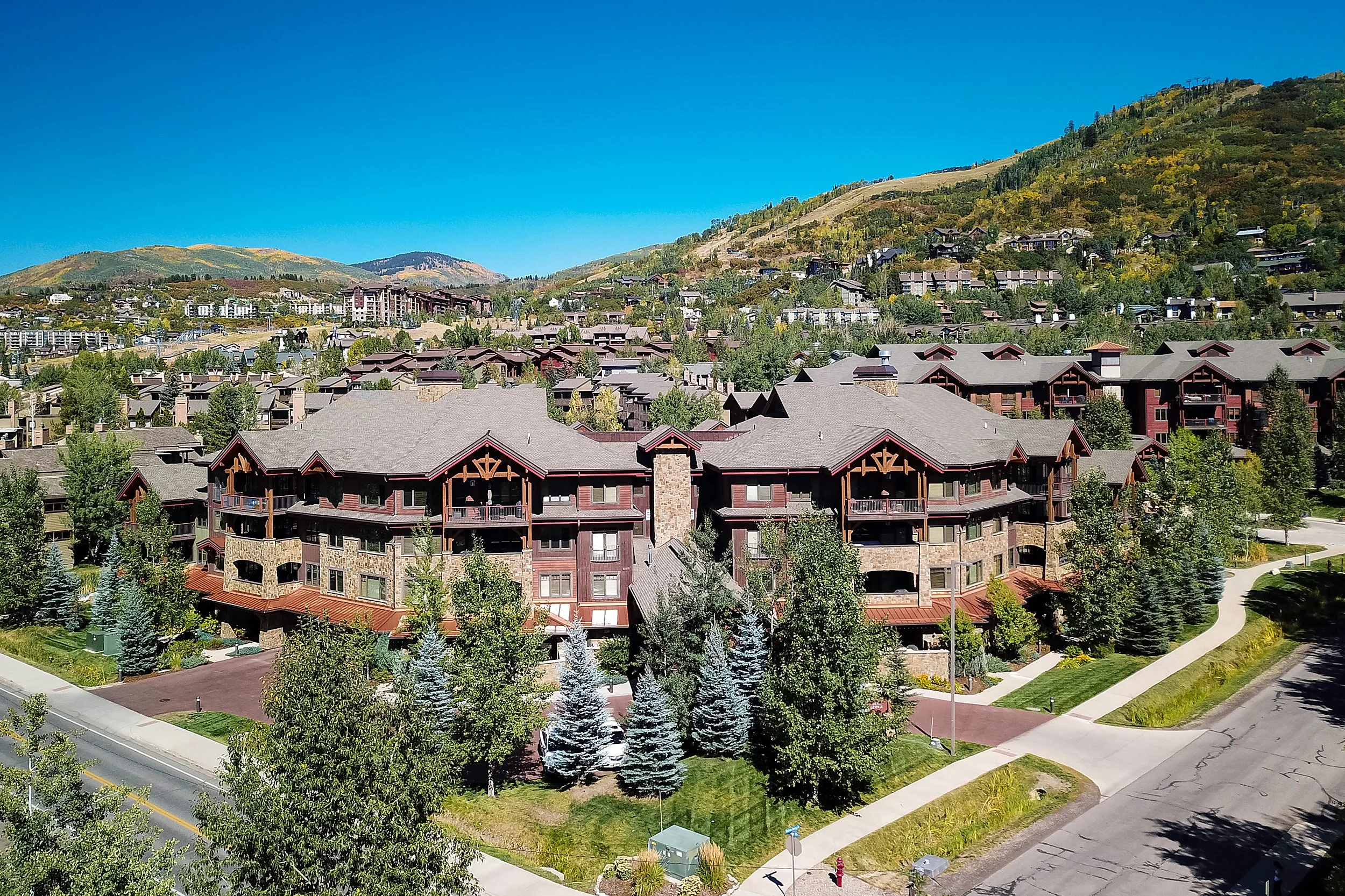
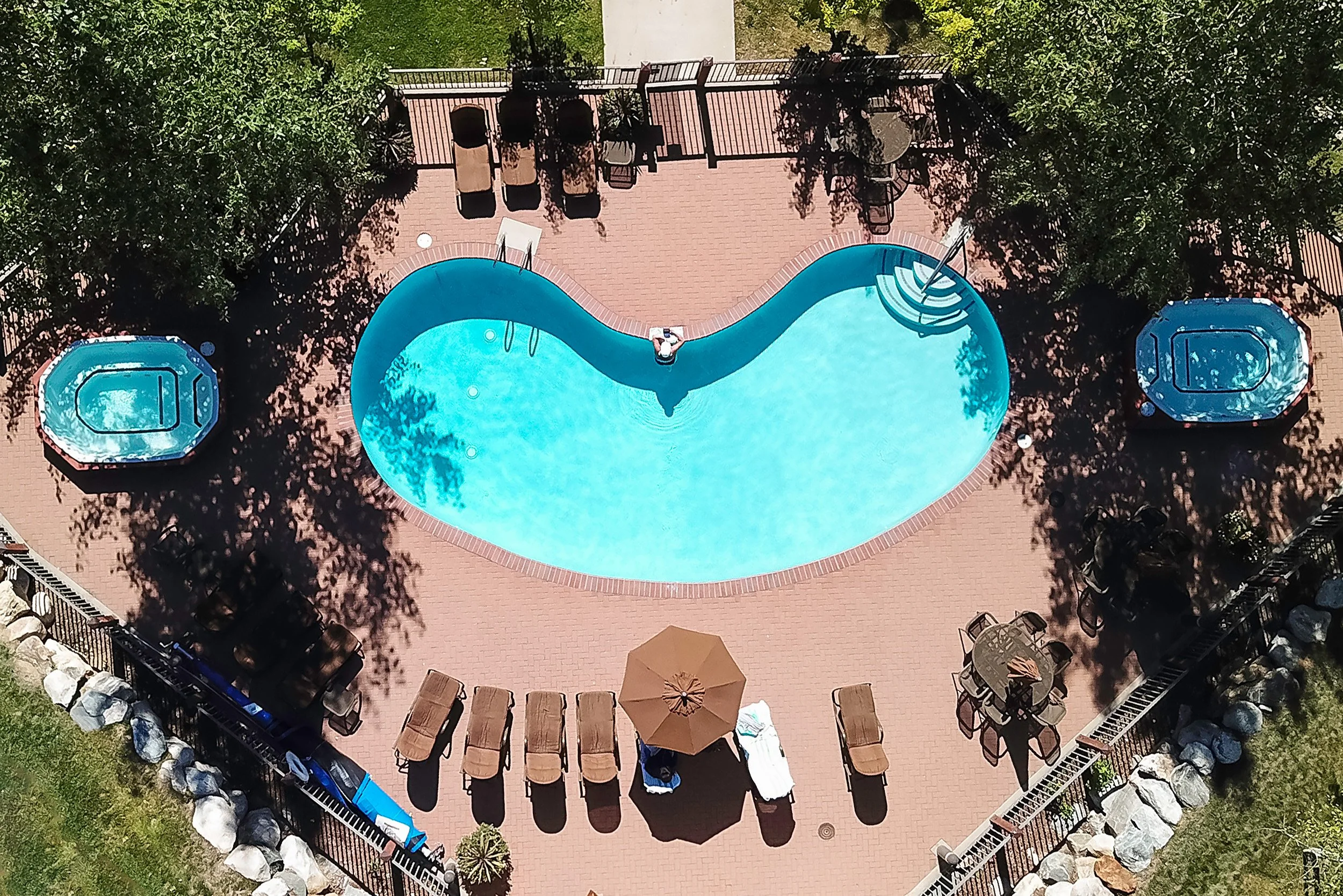
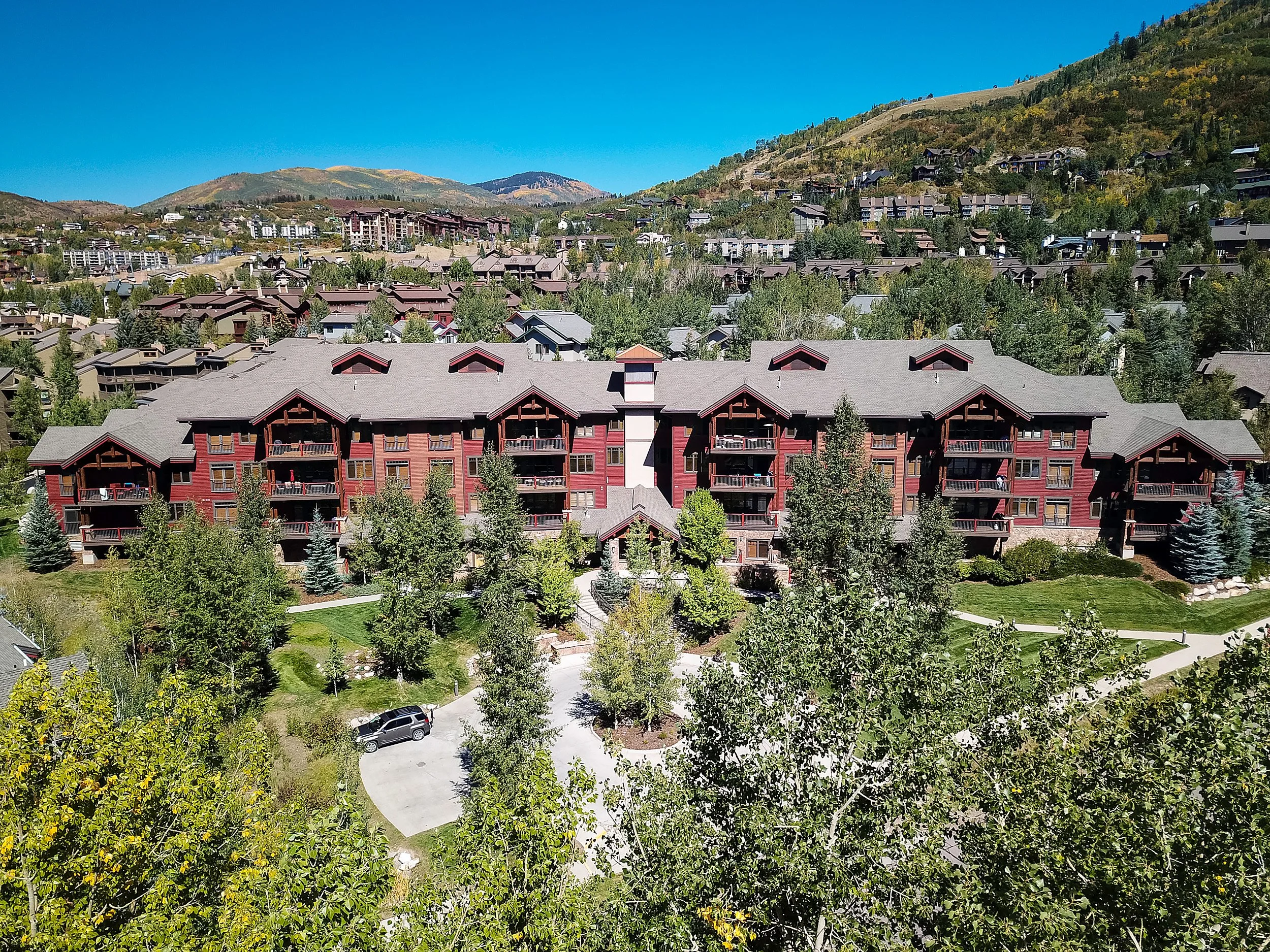
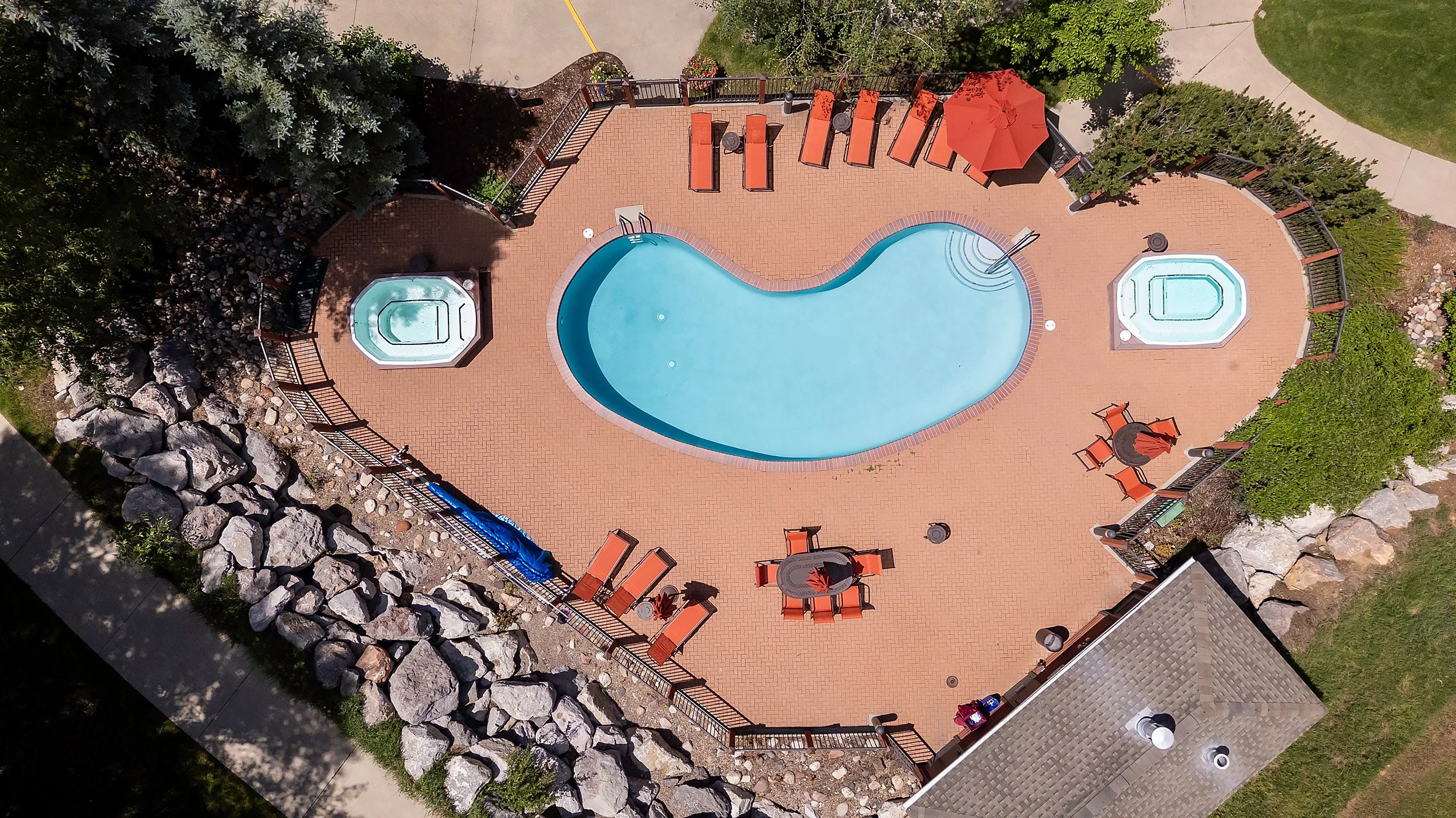
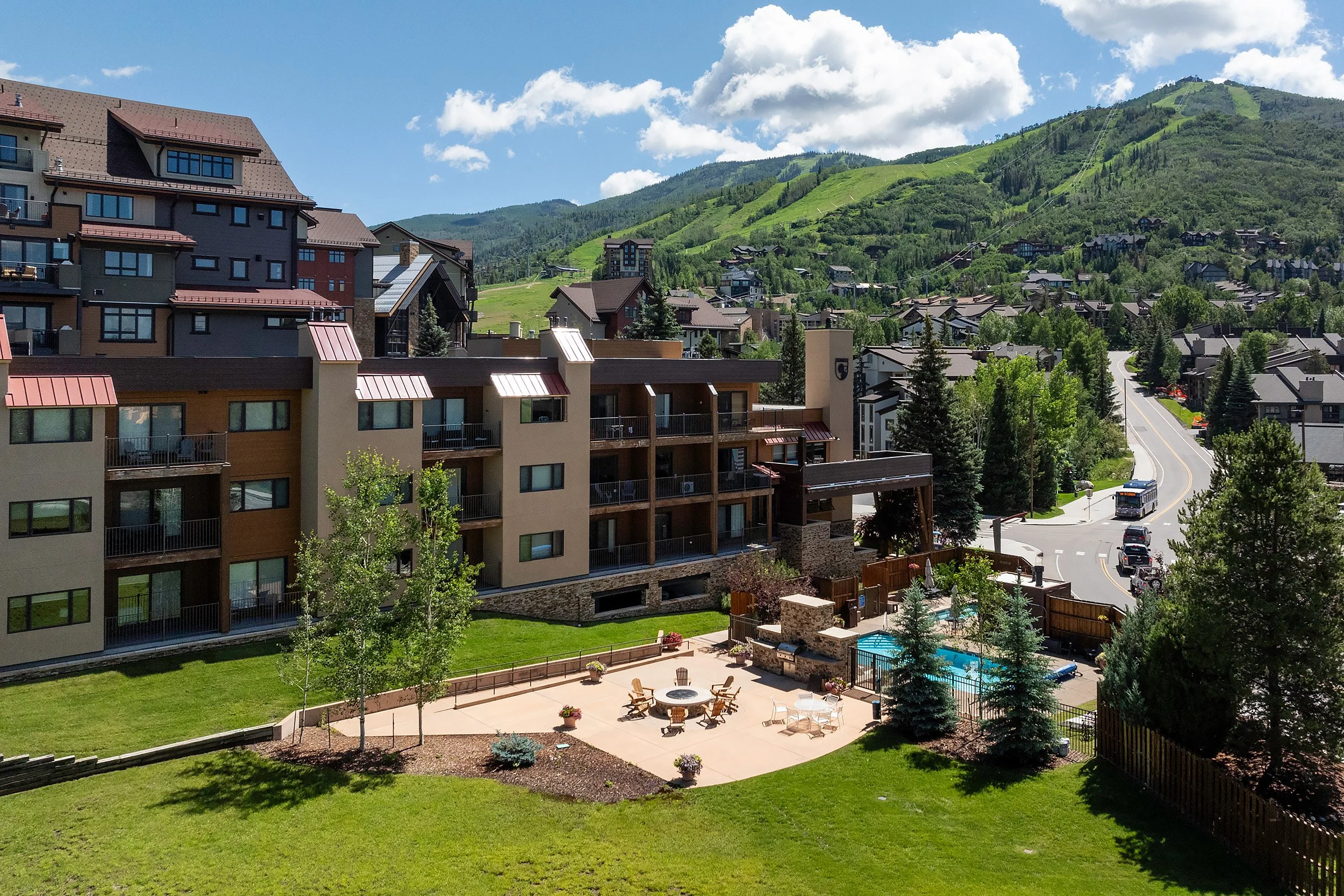
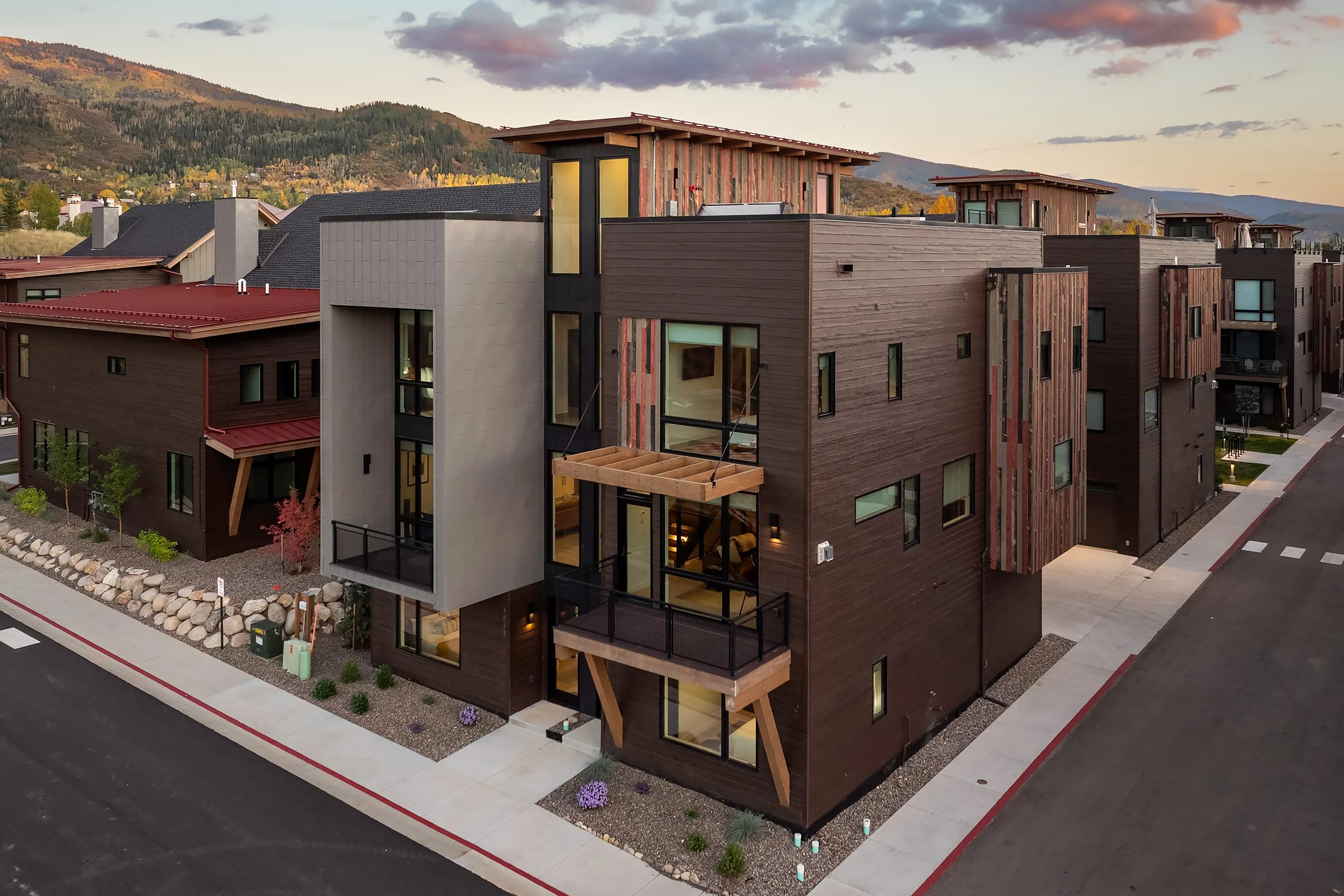
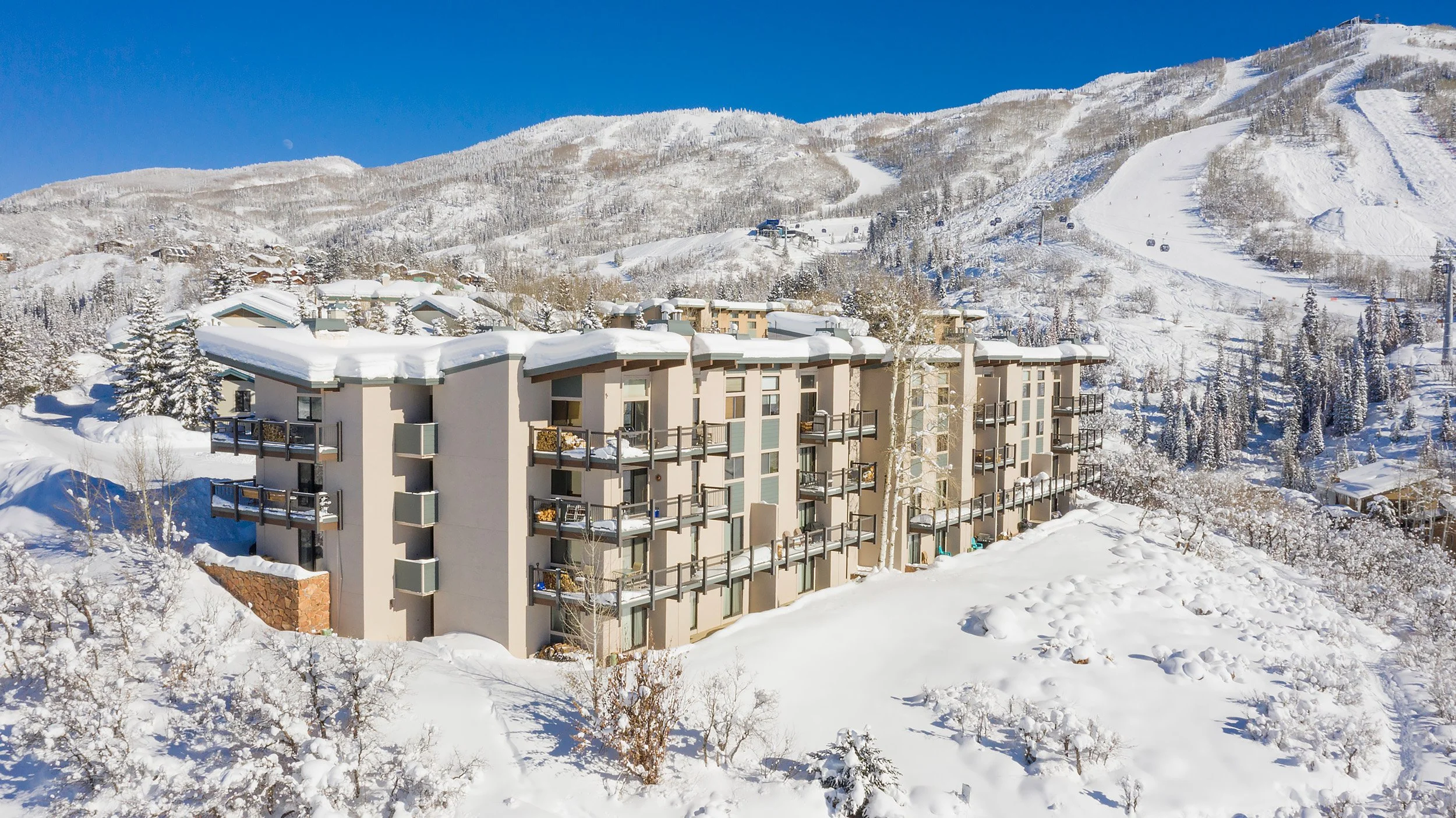
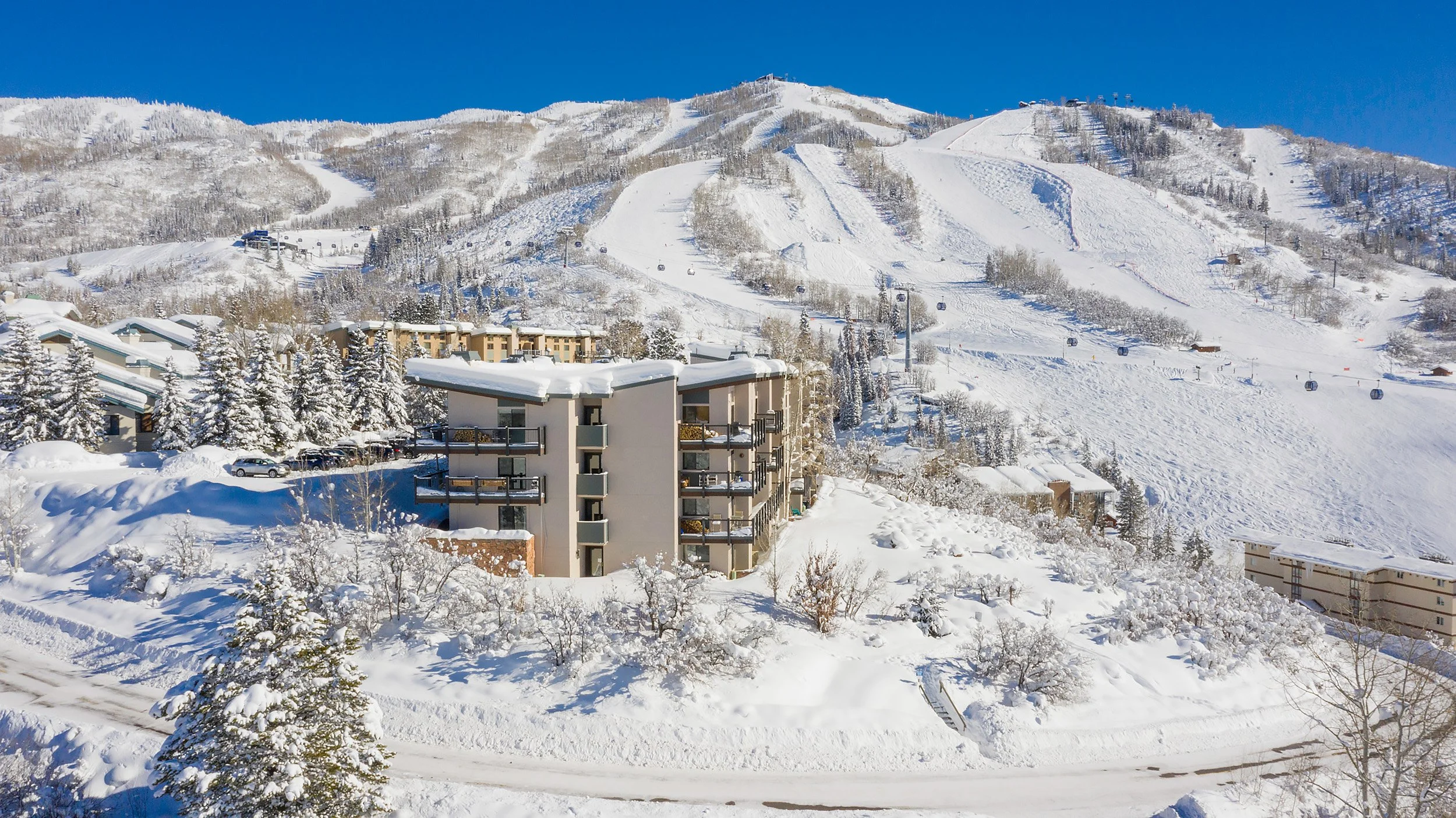
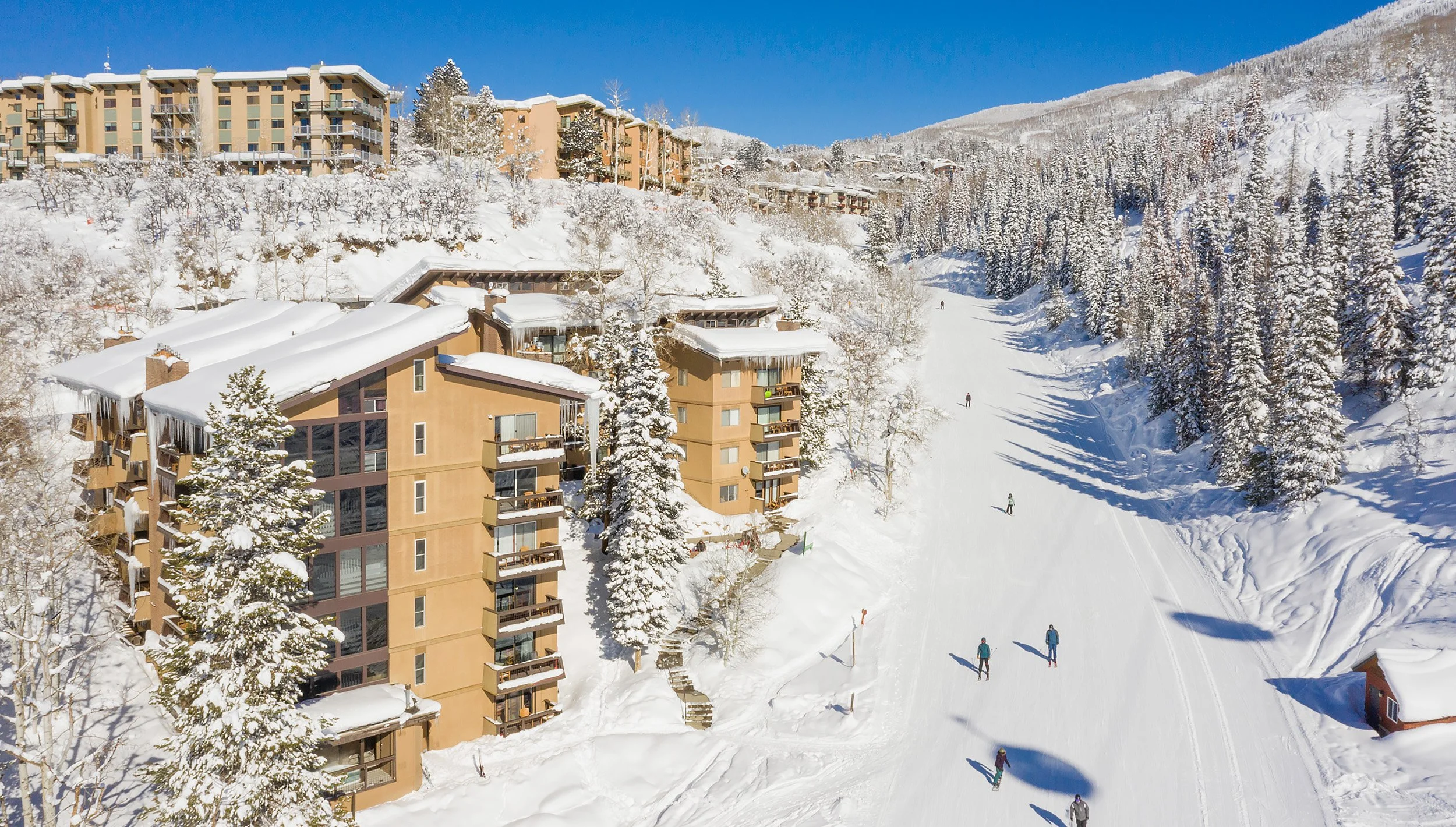
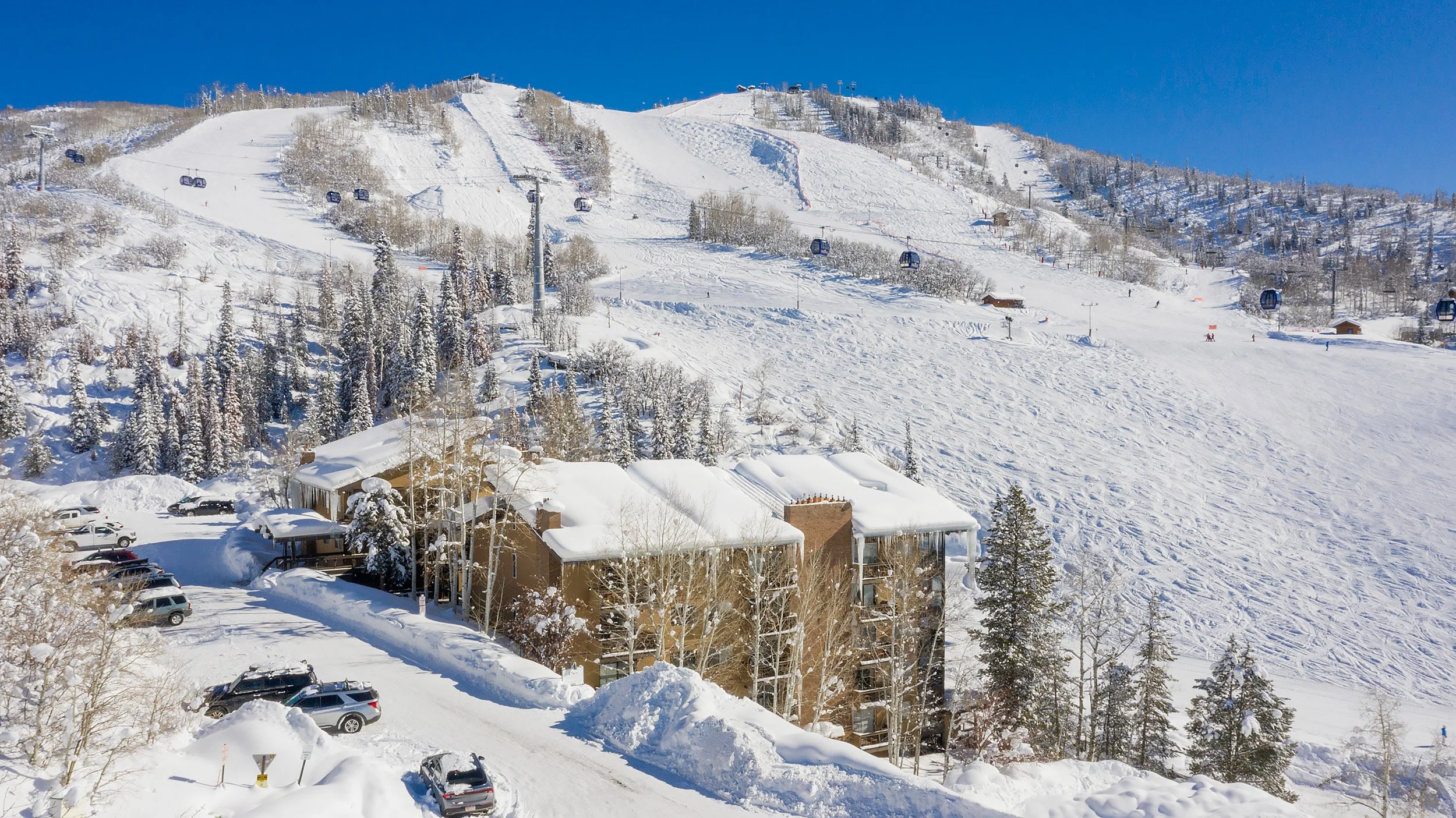
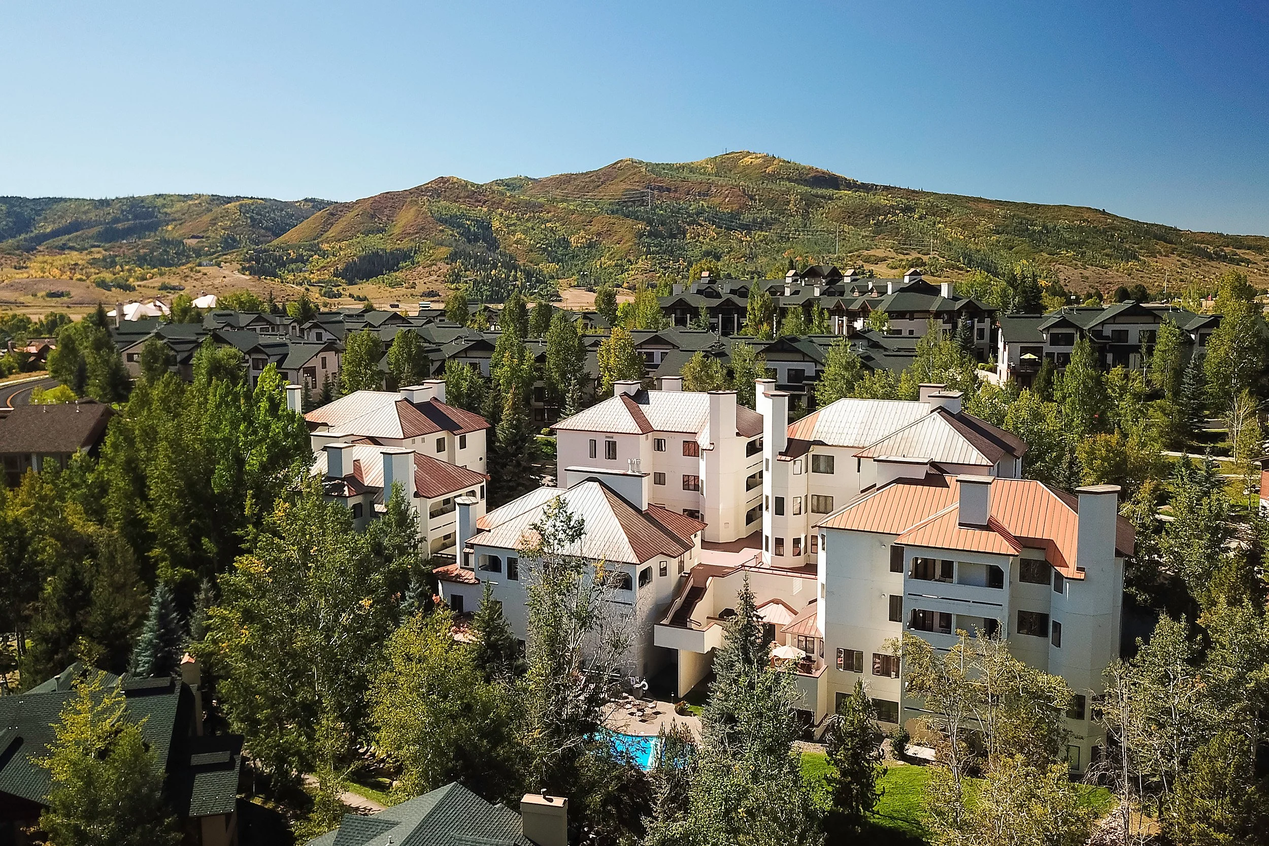
Drones allow professional real estate photographers and videographers to capture certain angles and views that are otherwise limited by standard cameras.
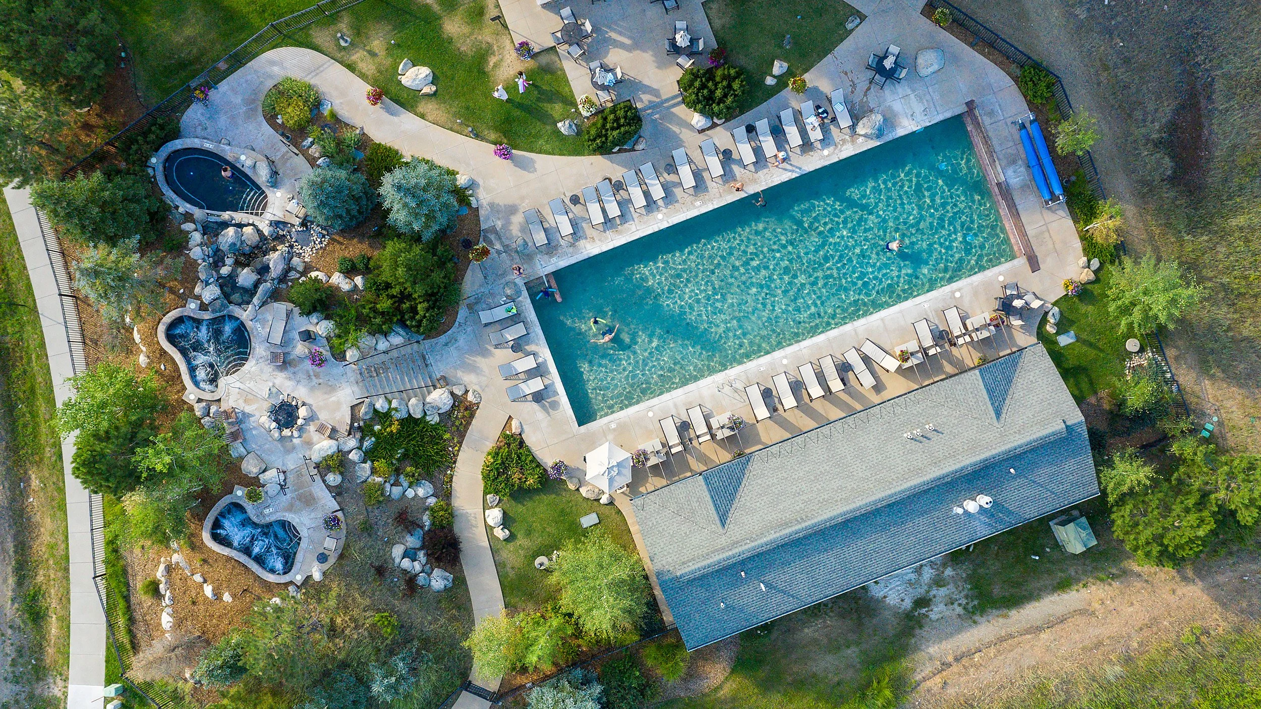
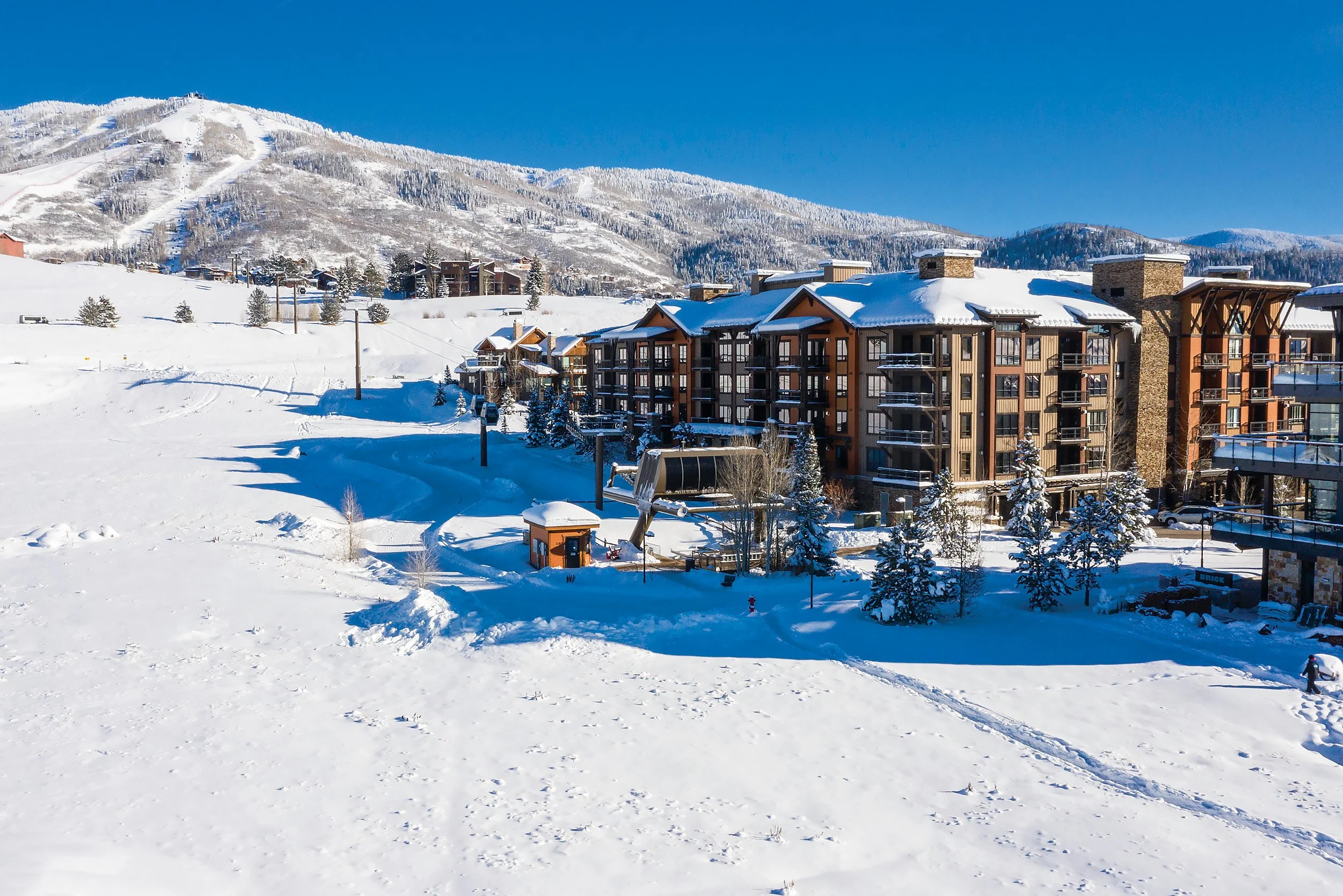
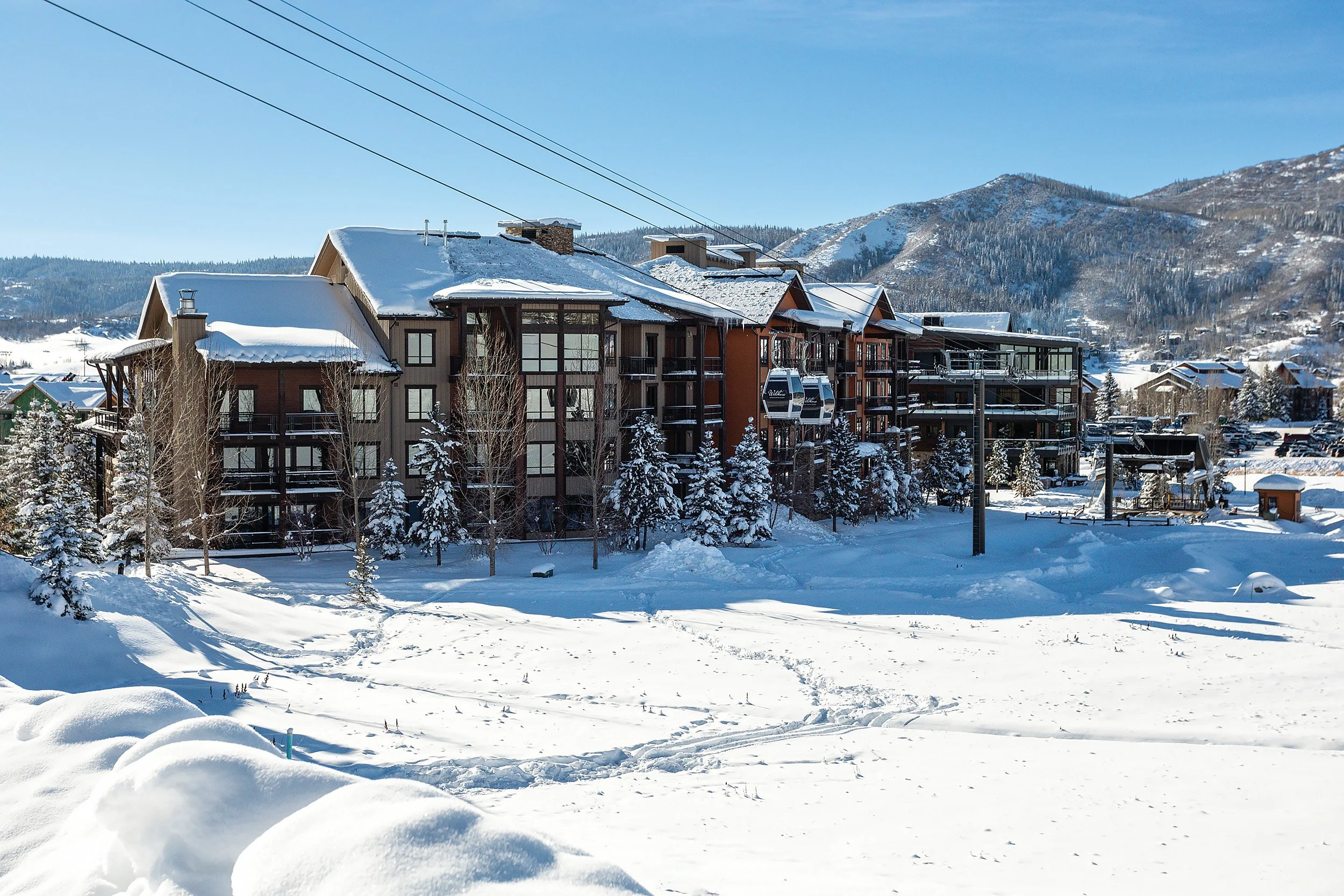
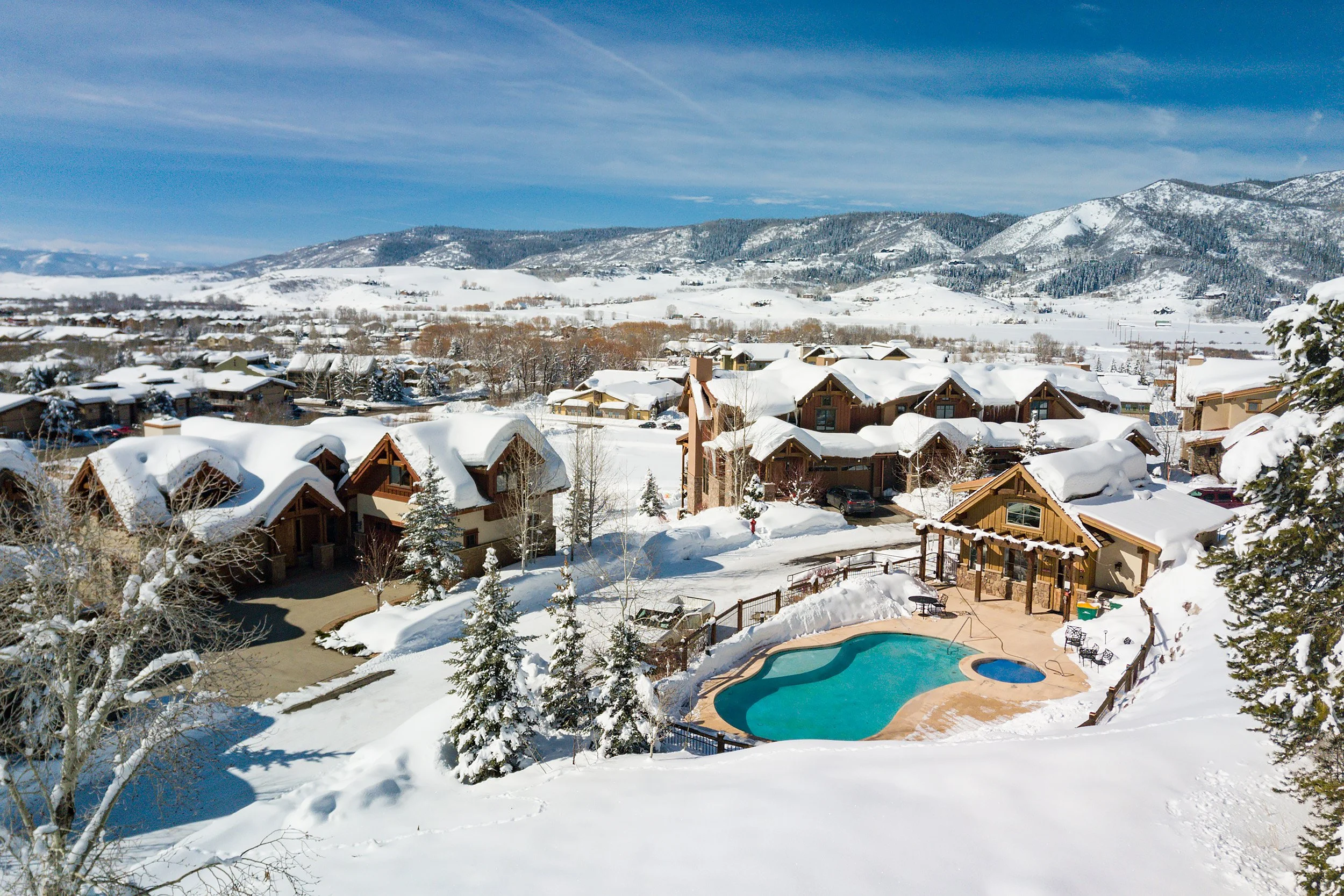
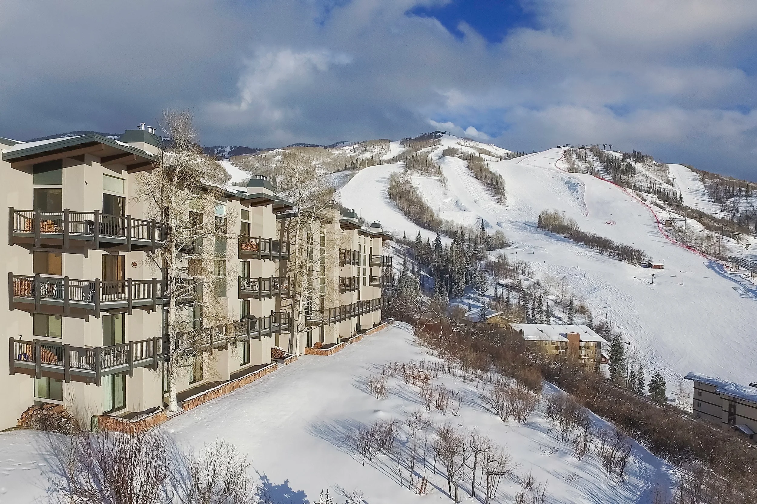
Photographers can now shoot up to 400 feet above ground level to produce compelling aerial shots of homes, the local landscape, charming downtowns, landmarks, and tracts of lush farmland—just to name a few.
This new medium creates a better sense of location and culture which buyers love. After all, more than 70% of homebuyers watch video tours according to a joint real estate consumer report from Google and the National Association of Realtors (NAR).
Studies Show That Consumers Are More Likely To Prefer Drone Photography
In their joint report, Digital House Hunt: Consumer and Market Trends in Real Estate, Google, and the NAR also revealed how much homebuyers rely on visual marketing to make decisions:
86% of homebuyers use videos to learn more about the community they’re considering moving to.
54% watch real estate videos for general information about a particular home.
44% of homebuyers use real estate videos to compare and contrast their choices.
38% say they use videos to learn about more specific features of a home.
As consumers grow more informed on their own, they expect more useful, high-quality information and visuals for decision-making. Hence, the growing popularity of drone photography in the real estate industry.
In fact, according to Multiple Listing Service (MIS) statistics reported by Real Estate Magazine, properties with accompanying aerial images are 68% more likely to sell than properties without aerial marketing, another reason why agents are upping their marketing game with real estate drone photography.